
By Carla Calleja, MBA, REB
The quiz
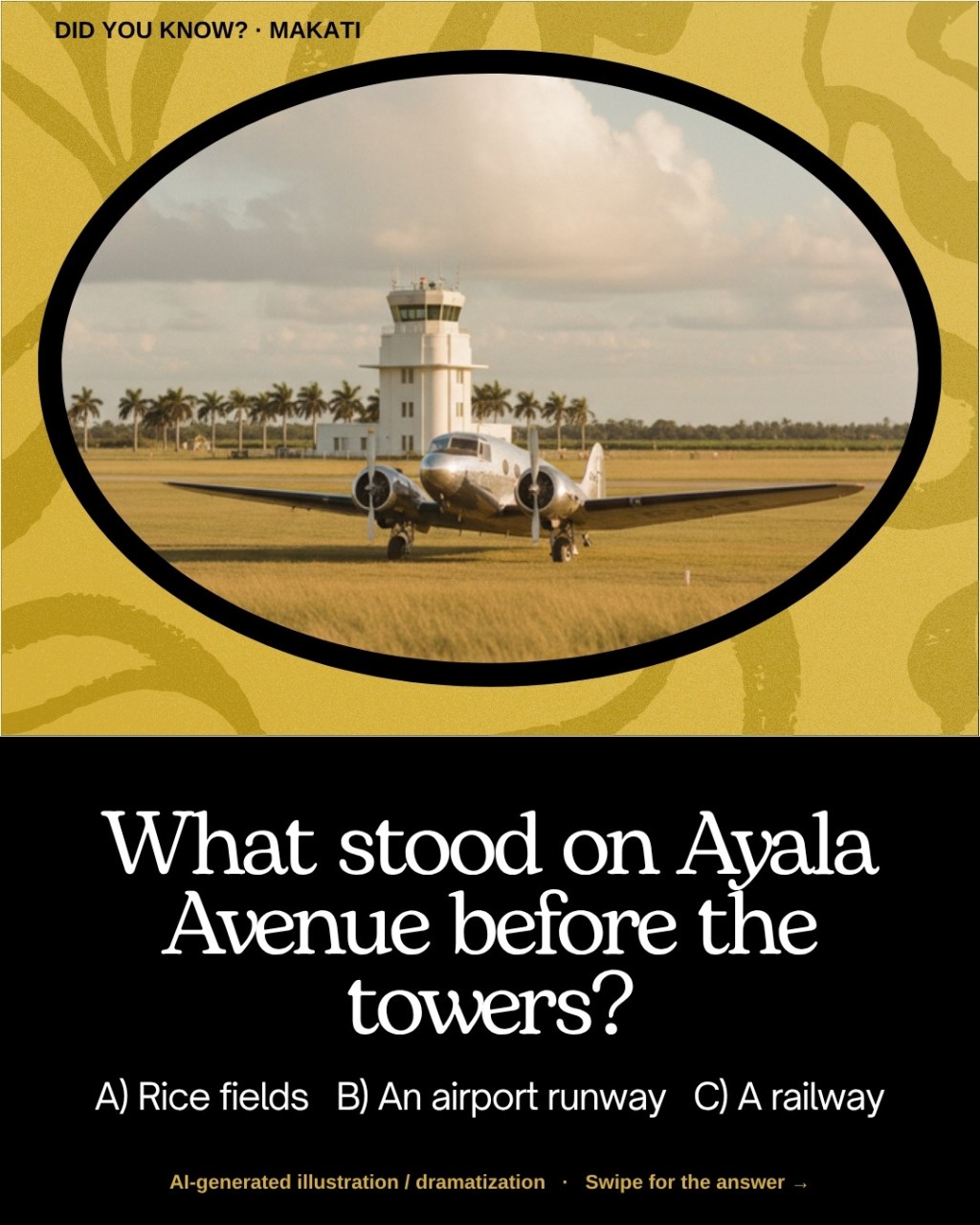
Next time you’re stuck in traffic on Ayala Avenue, try this question on your seatmate: what stood here before the skyscrapers? Rice fields? A railway? An airport runway?
The answer surprises most people: an airport runway.
The short answer
Before Makati became the country’s best-known business district, part of it was Nielson Field, an airfield that opened in July 1937. Its two runways later became Ayala Avenue and Paseo de Roxas.
How Nielson Field began
Nielson Field was developed by businessman Laurie Reuben Nielson on land from the Zobel de Ayala family’s hacienda in Makati, and it was inaugurated in July 1937. It was a civilian and commercial airfield and also hosted an aviation school (The Urban Roamer; Wikipedia; Inquirer).
Fun link to my last trivia post: 1937 is also the year horse racing began at the old Santa Ana racetrack in Makati, where Circuit Makati stands today. Makati was busy that year.
War and the end of flights
The airfield was bombed on December 10, 1941, during the Japanese invasion, and was later retaken during the Battle of Manila in 1945 (The Urban Roamer; Inquirer). Operations at Nielson Field ended in 1948, when aviation moved to a site beside Nichols Field in Pasay, the forerunner of today’s NAIA (Wikipedia; The Urban Roamer).
From runways to roads
When the Zobel de Ayala family planned a new business district, the airfield’s two runways were turned into roads: the primary runway became Ayala Avenue and the secondary runway became Paseo de Roxas (Wikipedia; The Urban Roamer). That is why these two roads are so long, straight and wide.
The tower that survived
The old control tower, known today as Nielson Tower, still stands in the Ayala Triangle area. Over the years it has served as a police station, a company office and a restaurant. It housed the Filipinas Heritage Library from 1996 until the library moved to the Ayala Museum, and it reopened as a restaurant in 2014 (Wikipedia; The Urban Roamer).
Why this matters for property owners
- Land use changes over time. An airfield became Asia-class prime real estate within a few decades. Long-term zoning and planning drive value.
- Master planning pays off. Wide, straight roads from former runways helped make Makati’s CBD easy to develop.
- History adds value. Properties near landmarks like Ayala Triangle carry a story buyers love.
FAQ
When did Nielson Field open?
It was inaugurated in July 1937.
Which roads were Nielson Field’s runways?
Ayala Avenue (the primary runway) and Paseo de Roxas (the secondary runway).
When did flights stop at Nielson Field?
Aviation operations ended in 1948 and moved to a site beside Nichols Field in Pasay.
Can I still see Nielson Tower?
Yes. The tower still stands in the Ayala Triangle area in Makati.
Ask Broker Carla
Love Makati history? Or looking for a home or investment in Makati? Comment on my Facebook page or email buyrentph@gmail.com. Send me your “Broker Carla, …” question anytime.
Sources
- Nielson Field (Wikipedia, via Wikiwand)
- The Urban Roamer: The Story of Ayala Triangle and Nielson Field
- Inquirer: Nielson Field becomes Ayala Triangle, busy streets in Makati
Cover image: AI-generated illustration / dramatization, not a historical photo.

